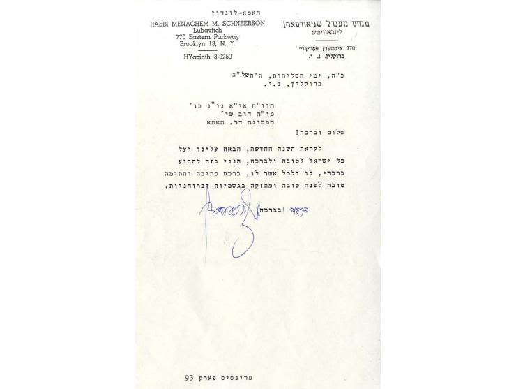
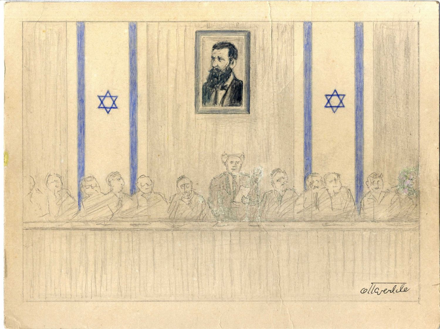
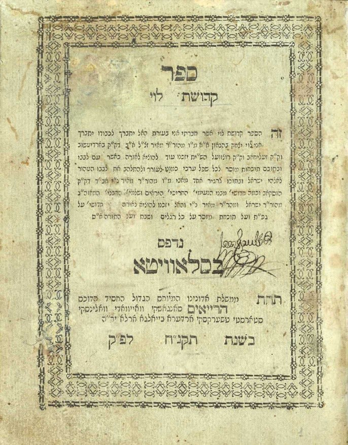
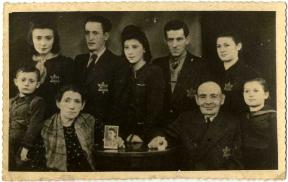
We are pleased to present to you for the second time, Winner's Annual Clearance Sale.
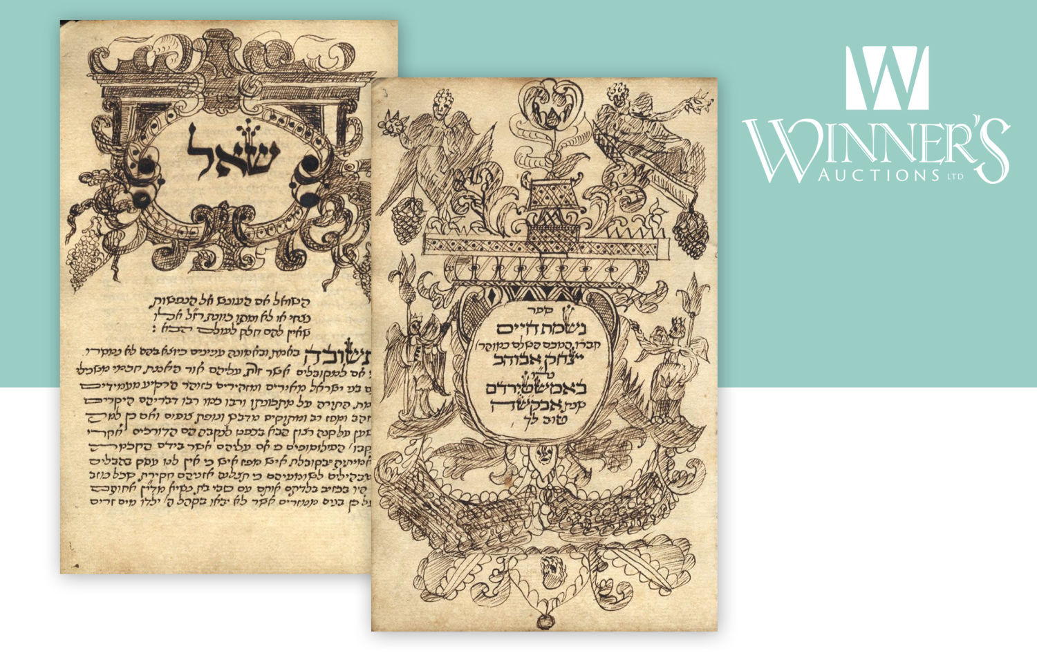
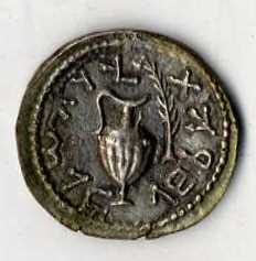
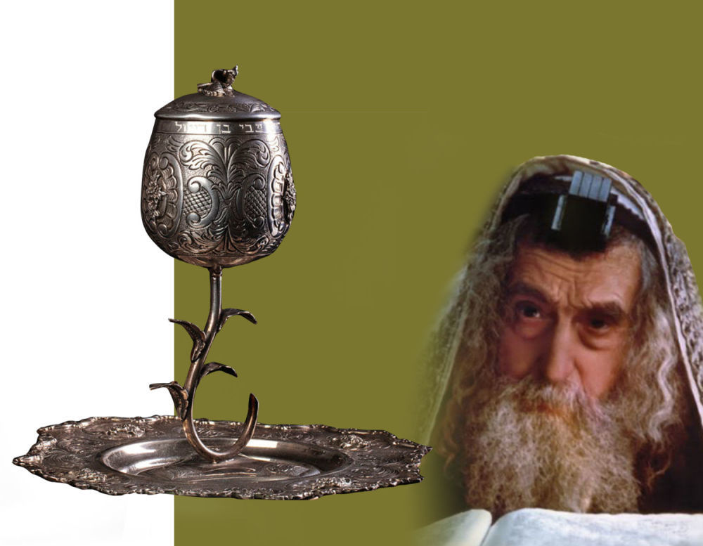
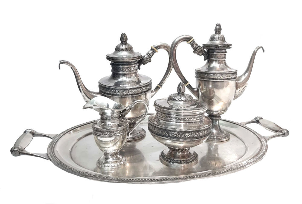
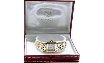
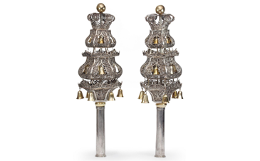
We have assembled approximately 800 interesting, rare and diverse items across various areas of interest whose common denominator is their low opening price, much lower than their real value.
All start at $10
Auction is time based automatically with no Auctioneer.
No Reserved price !!!
Commission will be 25% + VAT on the commission
Each item will carry an added handling charge of $5