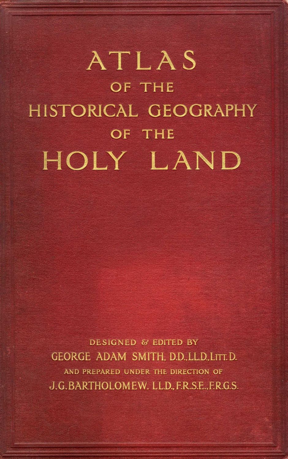
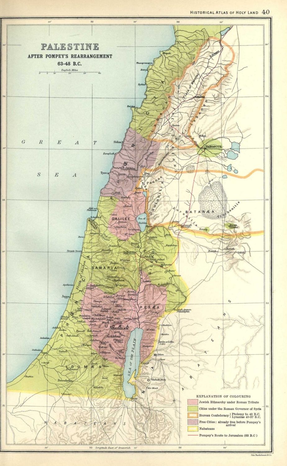
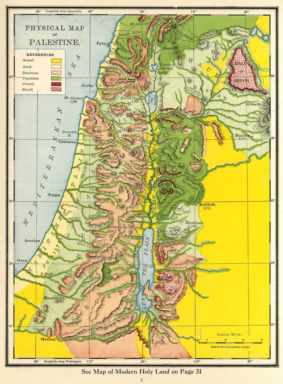
Two atlases with maps of the Land of Israel, London and New York prints. * Atlas of the Historical Geography of the Holy Land. Edited by George Adam Smith. London, 1915. 60 colored geographical maps. Most are maps of Palestine. A number of detailed maps of Jerusalem and the Middle East. Average size: 20×32 cm. Tears in the spine. * Historical Atlas of the Holy Land, published by Rand McNally & Company. New York – Chicago – San Francisco. 1938. 31 pages. Colored geographic maps of the Holy Land and Jerusalem. Varying sizes and conditions, overall fine condition.