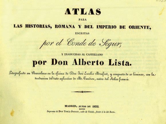

Atlas with maps and illustrations of the Roman Empire and Oriental countries by Professor Don Alberto Lista. Madrid, 1832.
21 pages. [20] leaves of picture plates, 20×27 cm.
Composition in Spanish with many maps, illustrations of coins, houses, weapons, musical instruments and more. Including maps of the Holy Land and illustrations of the vessels of the Tabernacle.
Original, half-leather binding, slightly chafed. Very fine condition.