Six maps – engravings of the Holy Land, 18th and 19th centuries.
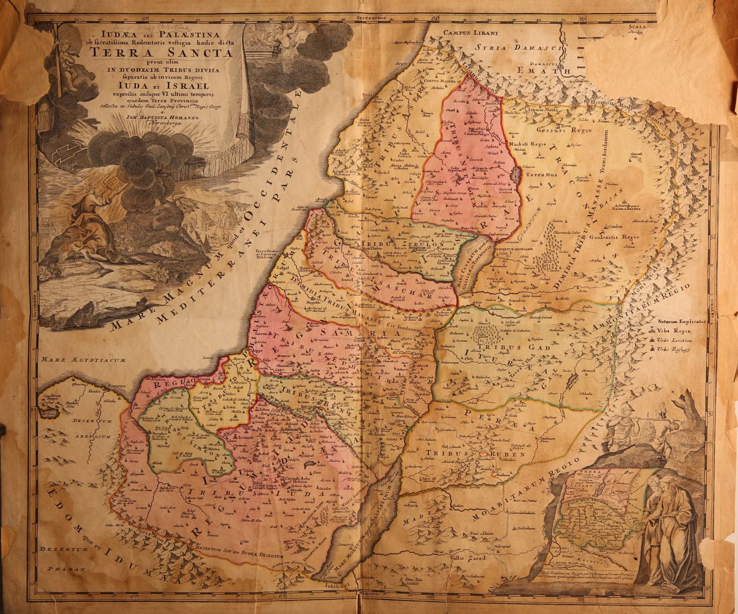
* JUDEA SEU PALASTINA … TERRA SANCTA … JUDA ET ISRAEL. Large map of the Holy Land with their tribal divisions, hand painted soon after printing. Nice cartouche at the upper left of Moses and Mt. Sinai. On the bottom right, a cartouche of Moses and Aaaron, 18th century. Size: 55×60 cm. Loss in the upper corners [restored with matching paper].
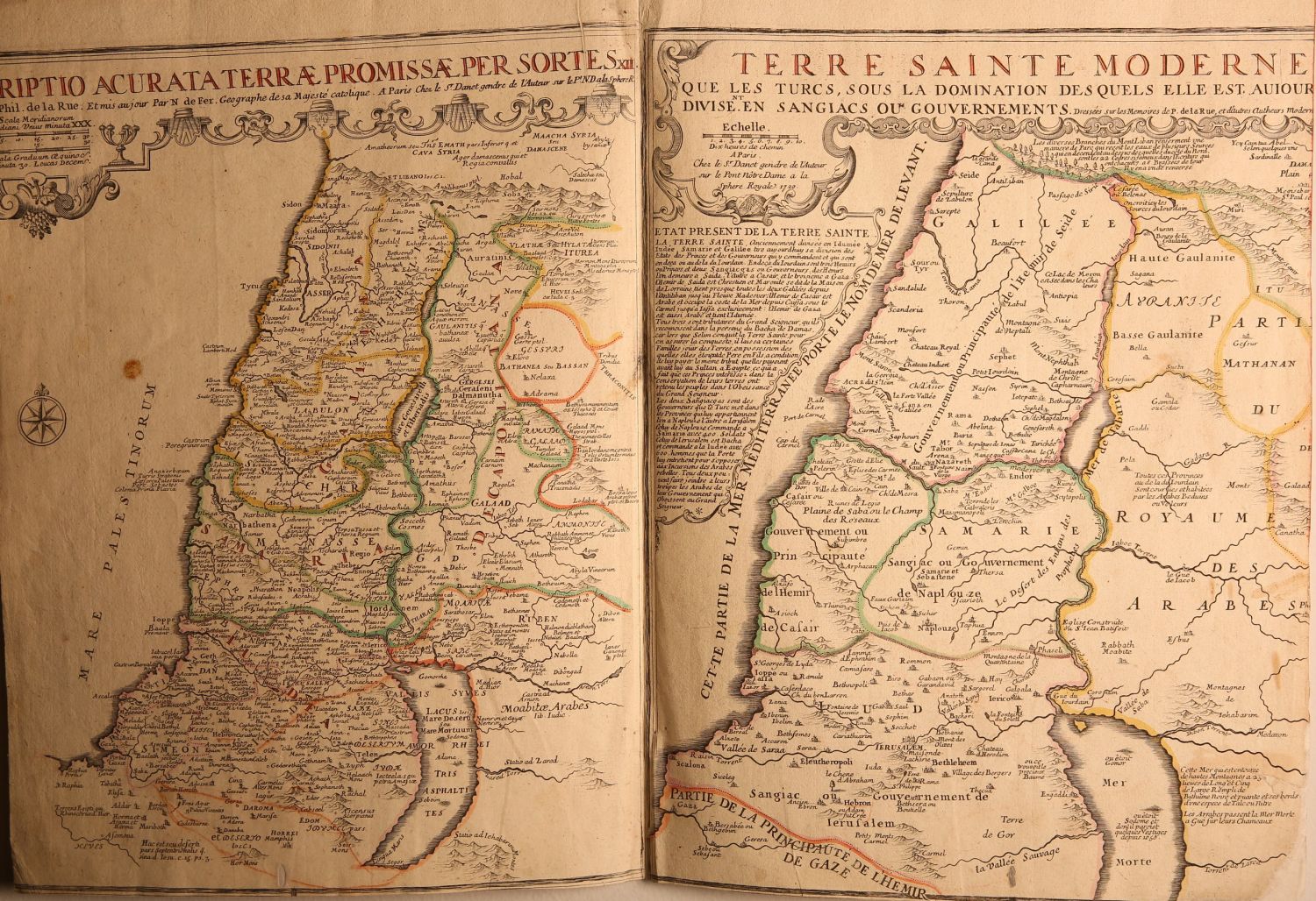
* Two maps of the Holy Land next to each other – ancient Holy Land with their tribal divisions, compared to “Terre Sainte Moderne” – Modern Holy Land. Both were hand painted soon after printing, 1720. Size: 45×65 cm.
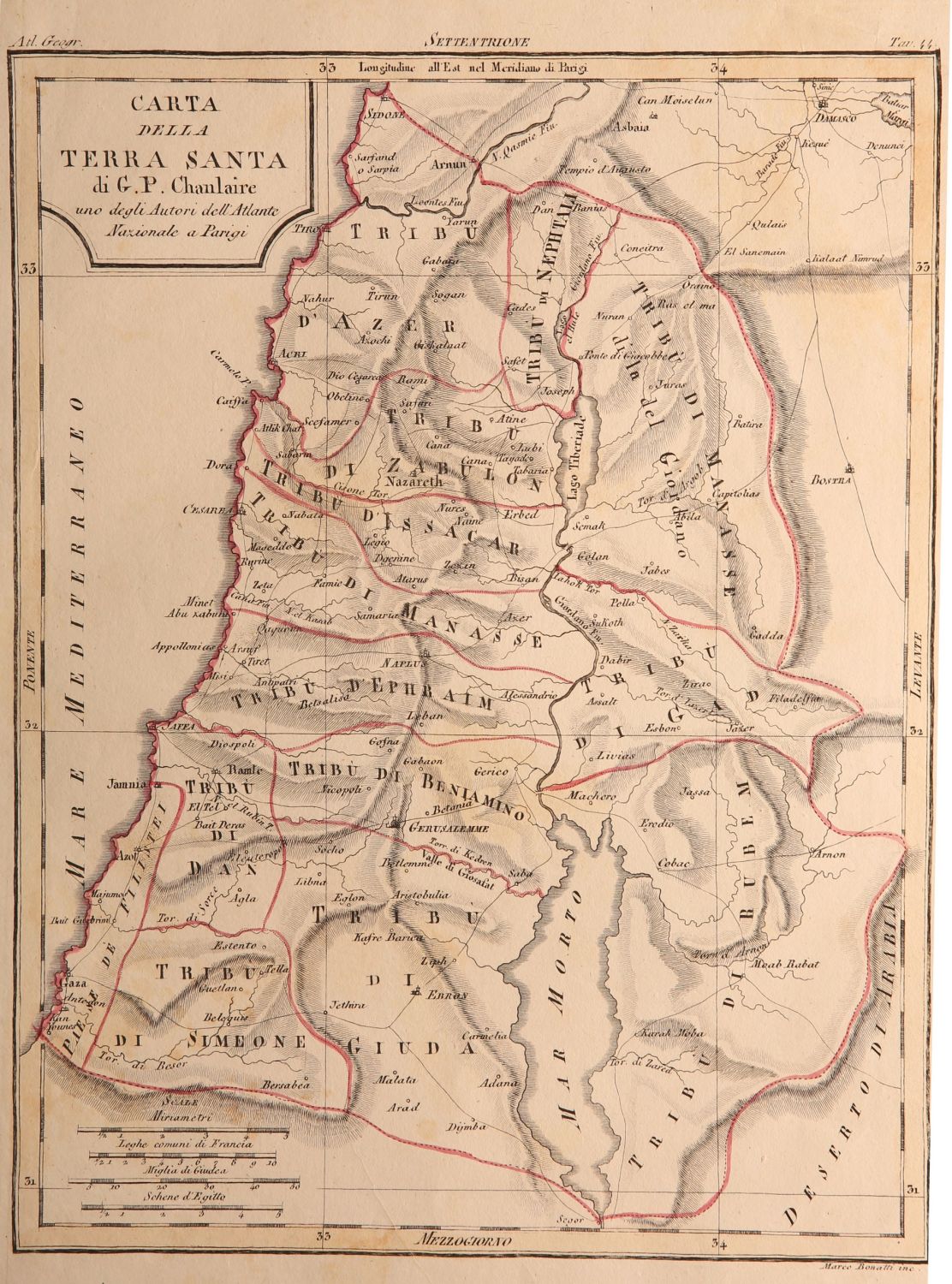
* Carta Della Terra Sancta – map of the Holy Land, hand painted. 19th century. 34×25 cm.
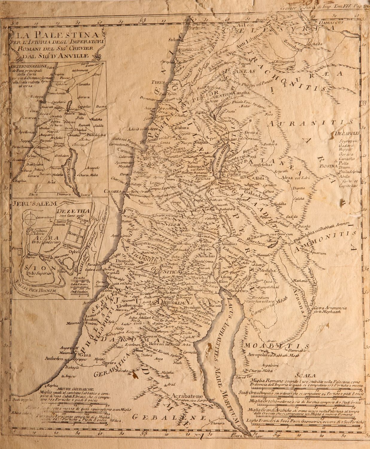
* La Palestina Per L’Istoria Degl Imperatori … Map of the Holy Land including a map of ancient Jerusalem. 19th century. Size: 36×31 cm.
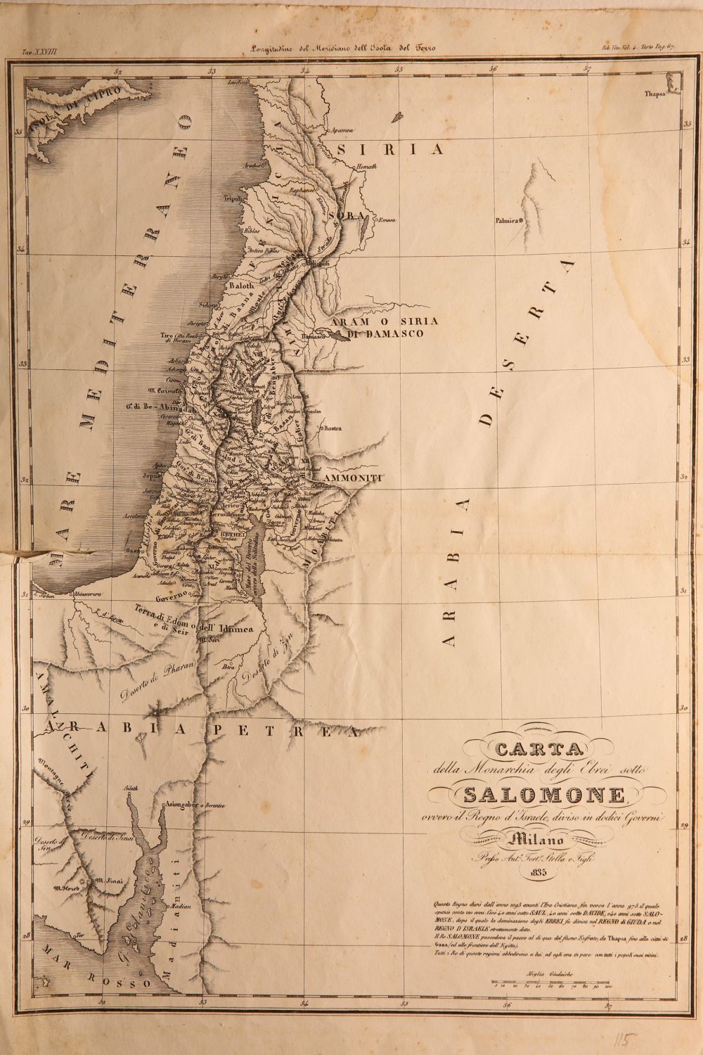
* Carta … Salomone . Map of the Holy Land, 1835. Size: 25×38 cm.
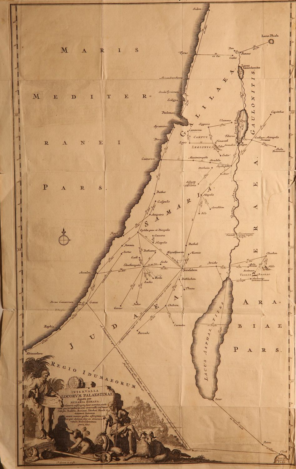
* Intervalla Locorvm Palaestinae, nice cartouche on bottom left. 19th century. Size: 30×50 cm.
Overall fine condition.