

* A map of the known world at the time of the publication of the Gospel. 1730 . Size: 21×17 cm.
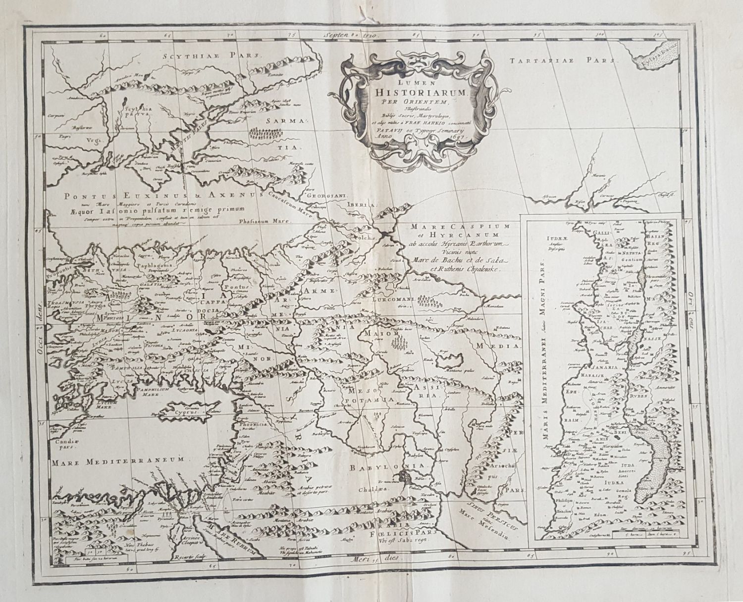
* Lumen Historiarum per Orientem 1697 . Size: 48×39 cm.
* Estats de L’Empore du Grand Seigneur des Turcs en Europe en Asia en Afrique. A large map depicting the three continents of Europe, Asia and Africa. Painted by hand from the time of printing. Size: 56×52 cm.
* Carte des Regions et des Lieux Dont il est Parle dans le Nouveau Testemant. Paris, 17th century, including a small map on the bottom left of ancient Jerusalem, and a map of the Land of Israel on the bottom right.
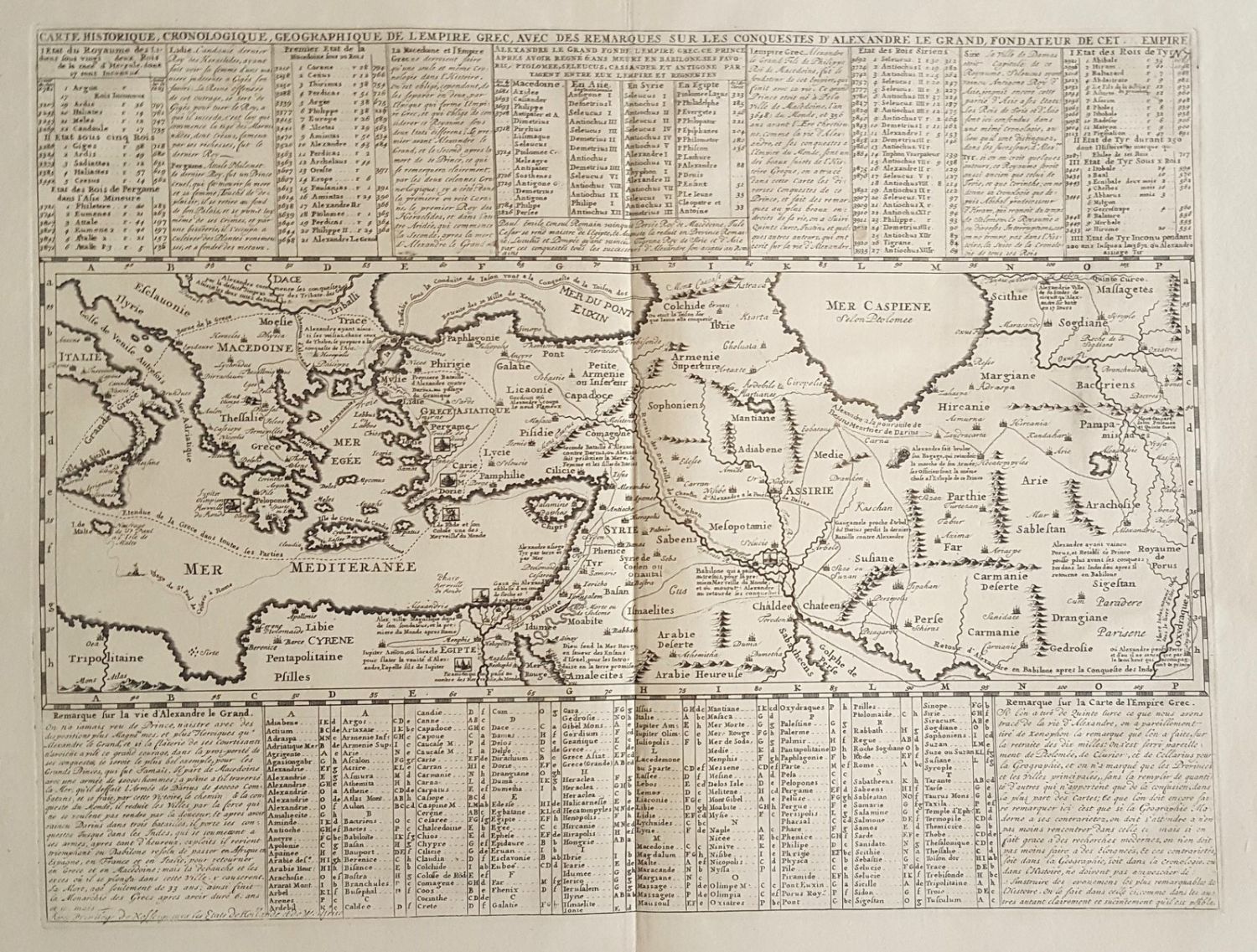
* Carte Historique Cronologique, Geographique de Grec, avec des remarques sur les conquuestes. Size: 43×17 cm.
Conditions vary, fine overall condition.