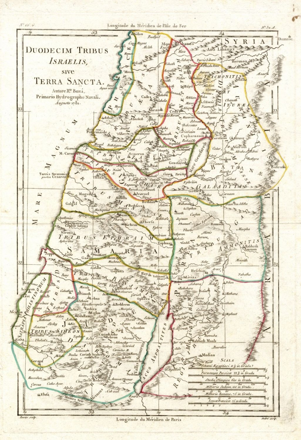
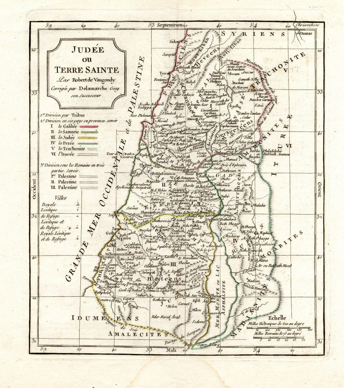
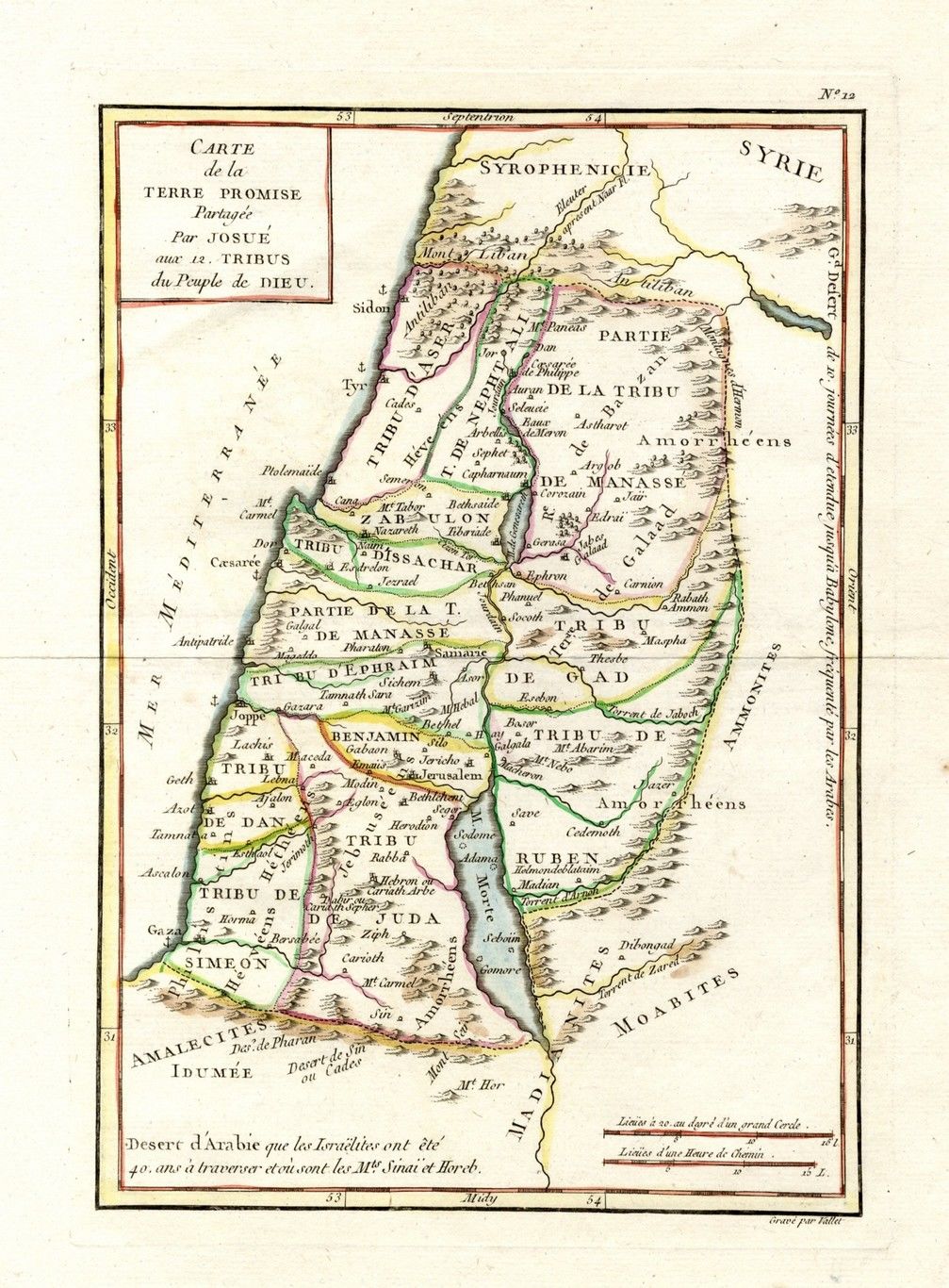
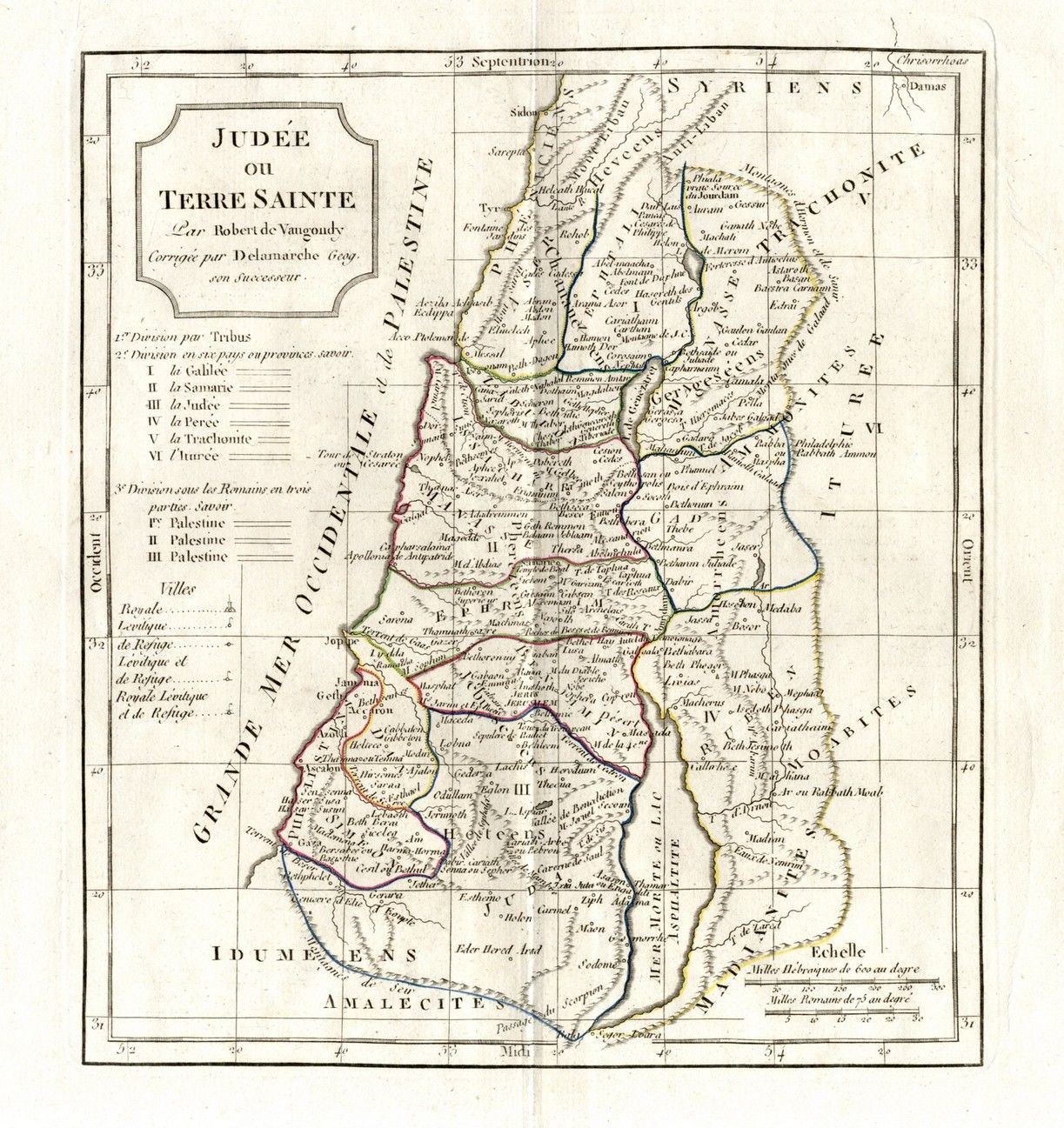
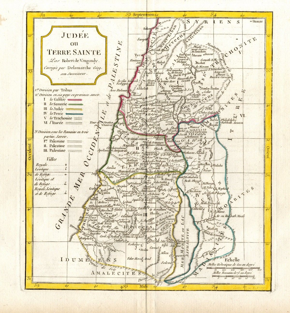
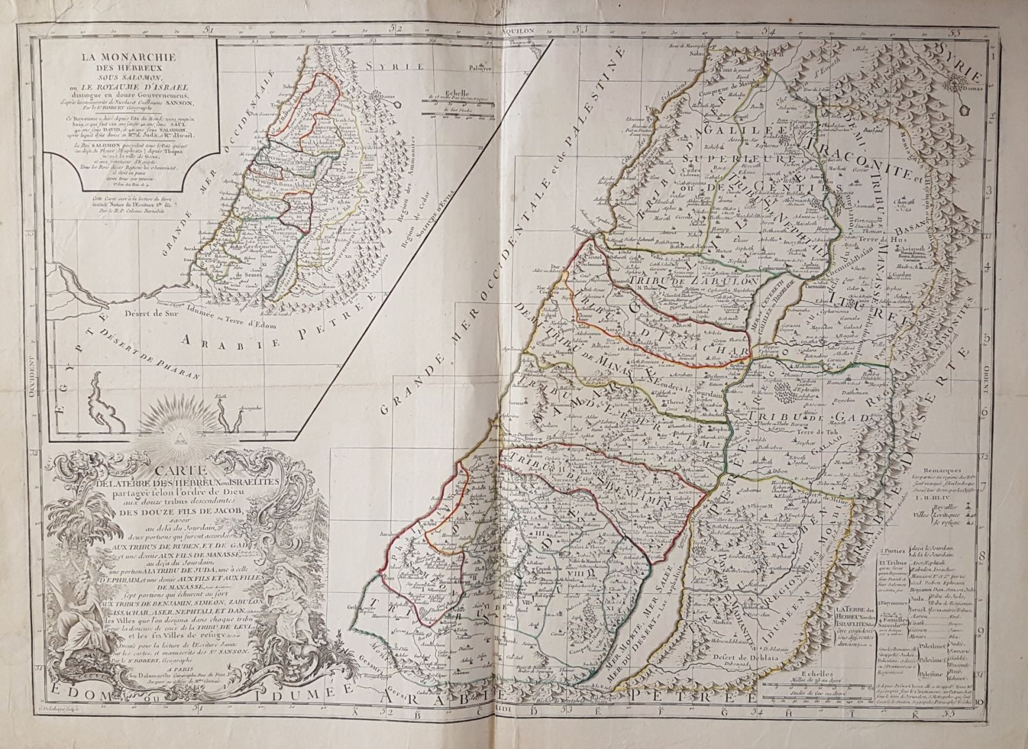
6 ancient geographical maps of the Land of Israel in varying sizes. Etchings and prints from different publishers, 18-19th century. Writing in Latin letters. All of the maps are painted by hand from the time of printing. Average size: 40×28 cm. Includes a large map 56×78 cm. Fine condition.