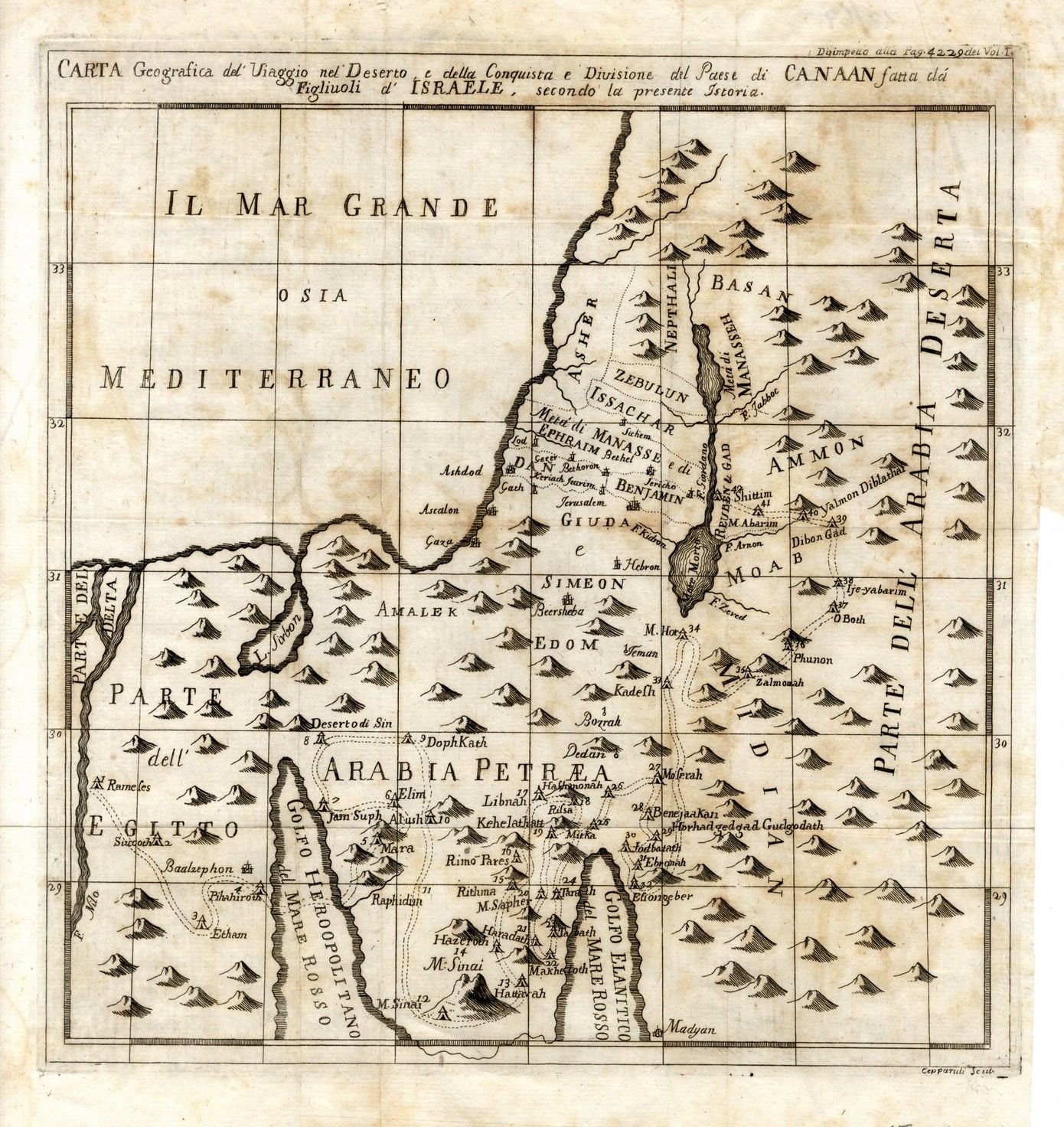
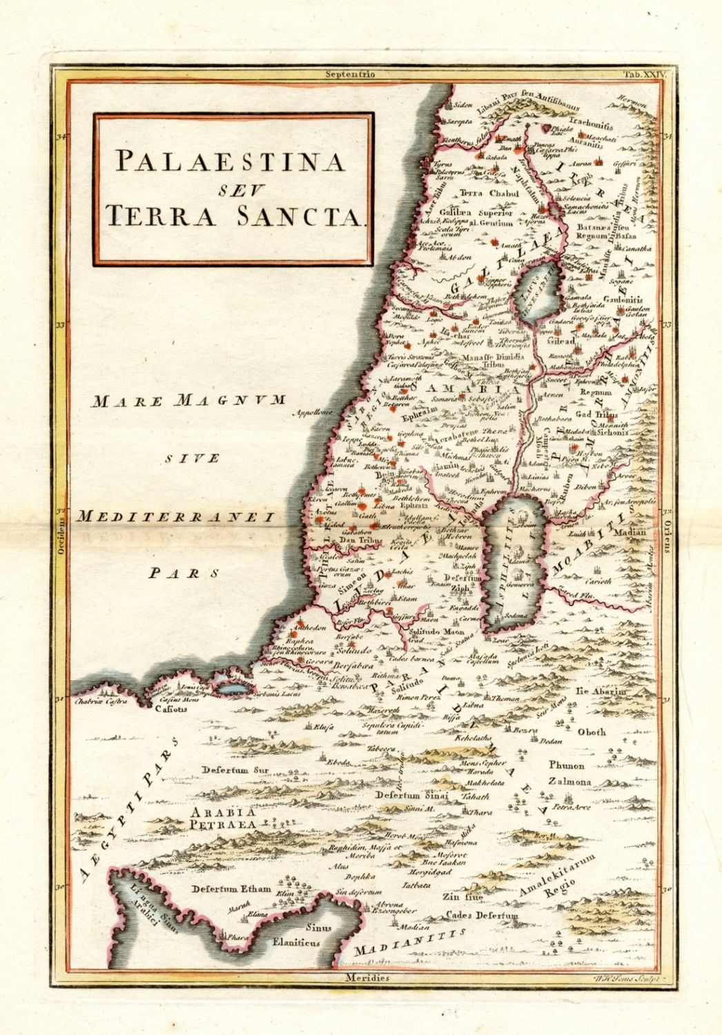
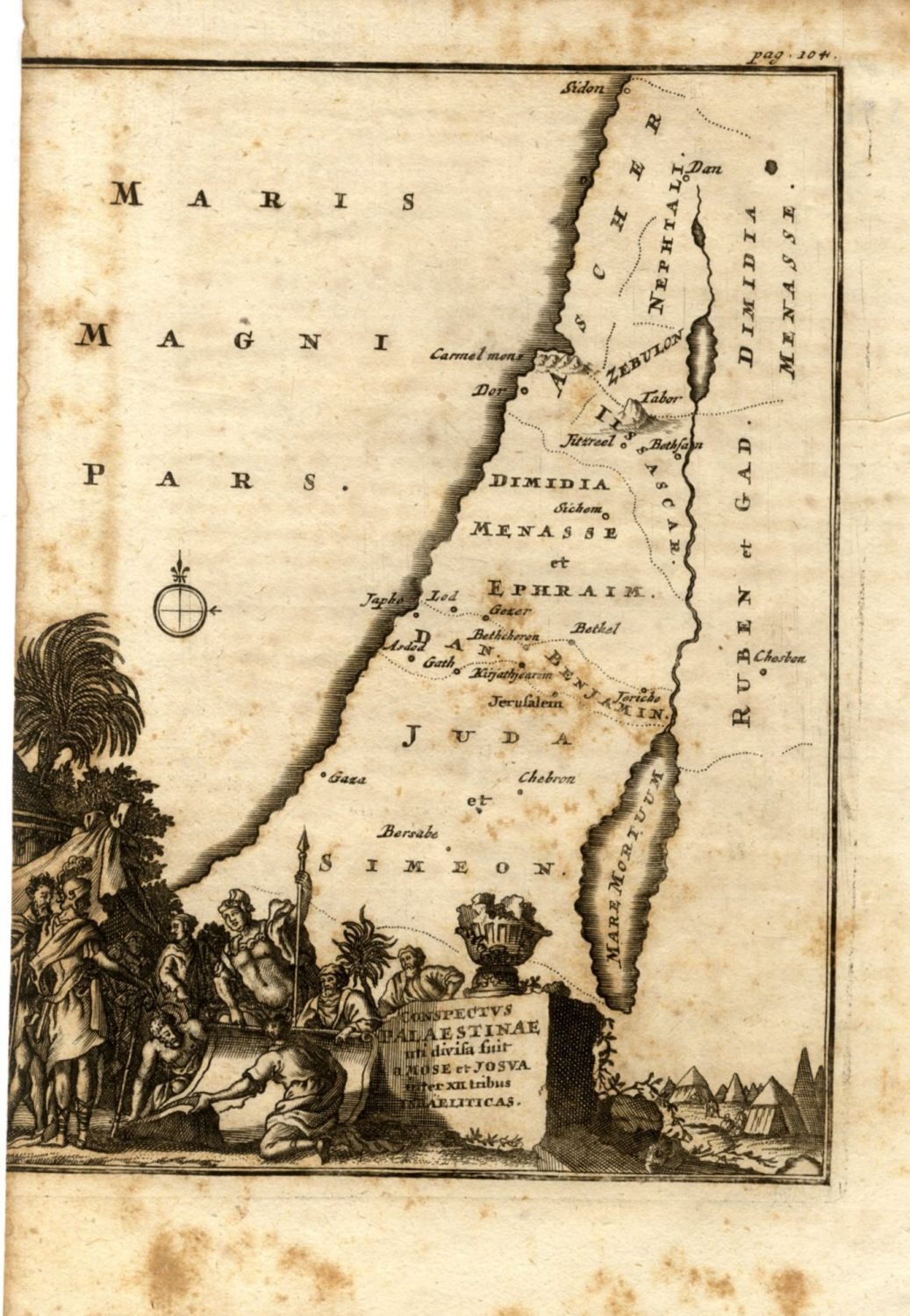
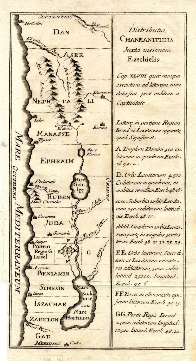

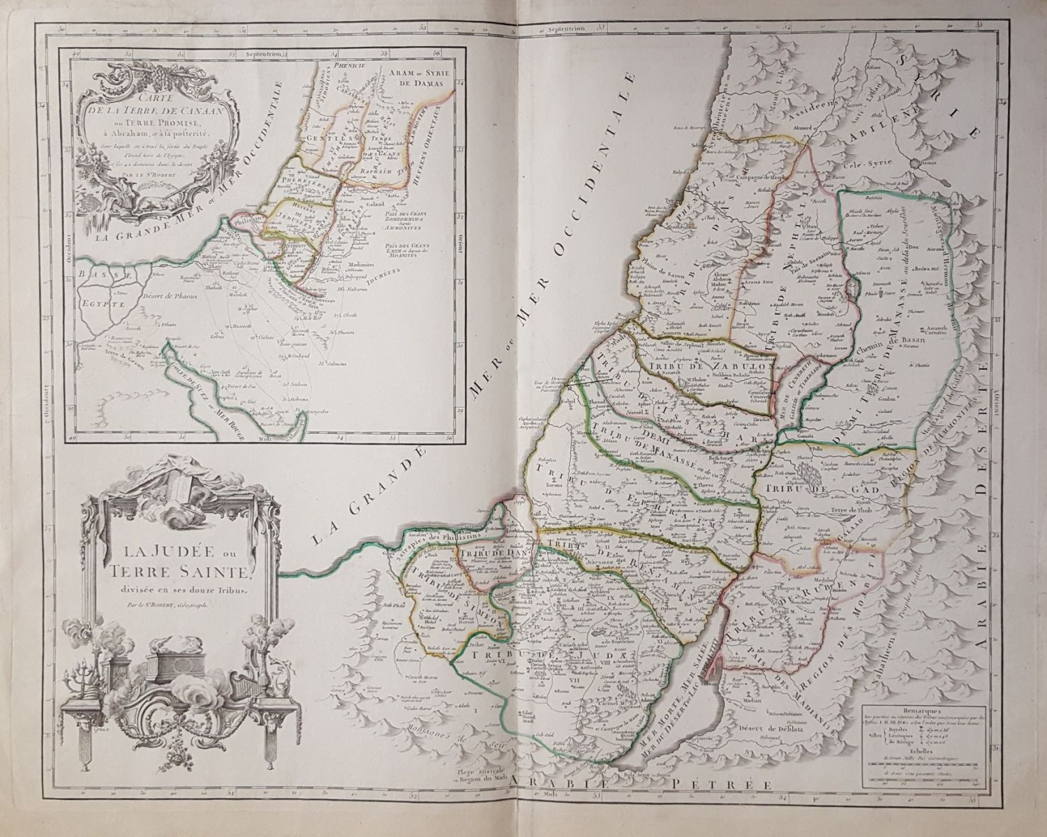
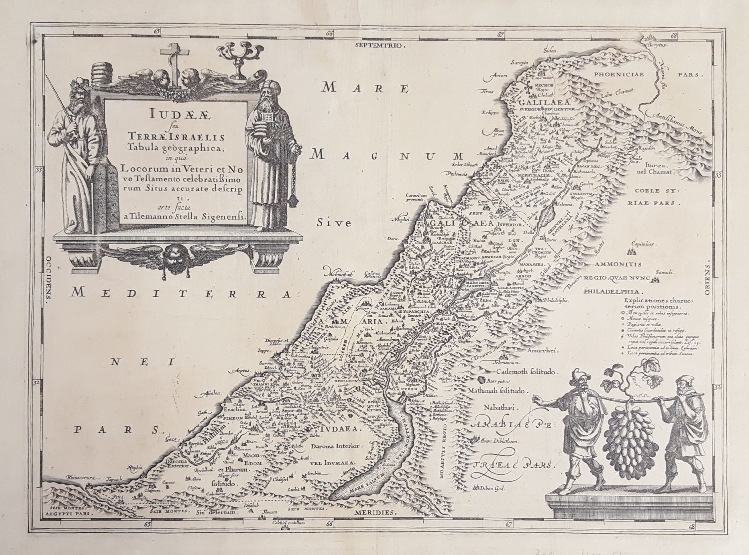
Early geographical maps from various publishers. Some of the maps show the division into tribes. Three maps are painted by hand from the time of printing, and four are black and white. Two large maps 70×55 cm. The rest are an average size of 30×23 cm, 17-18th century. Fine-very fine condition.