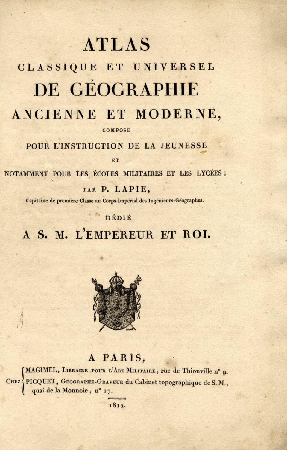
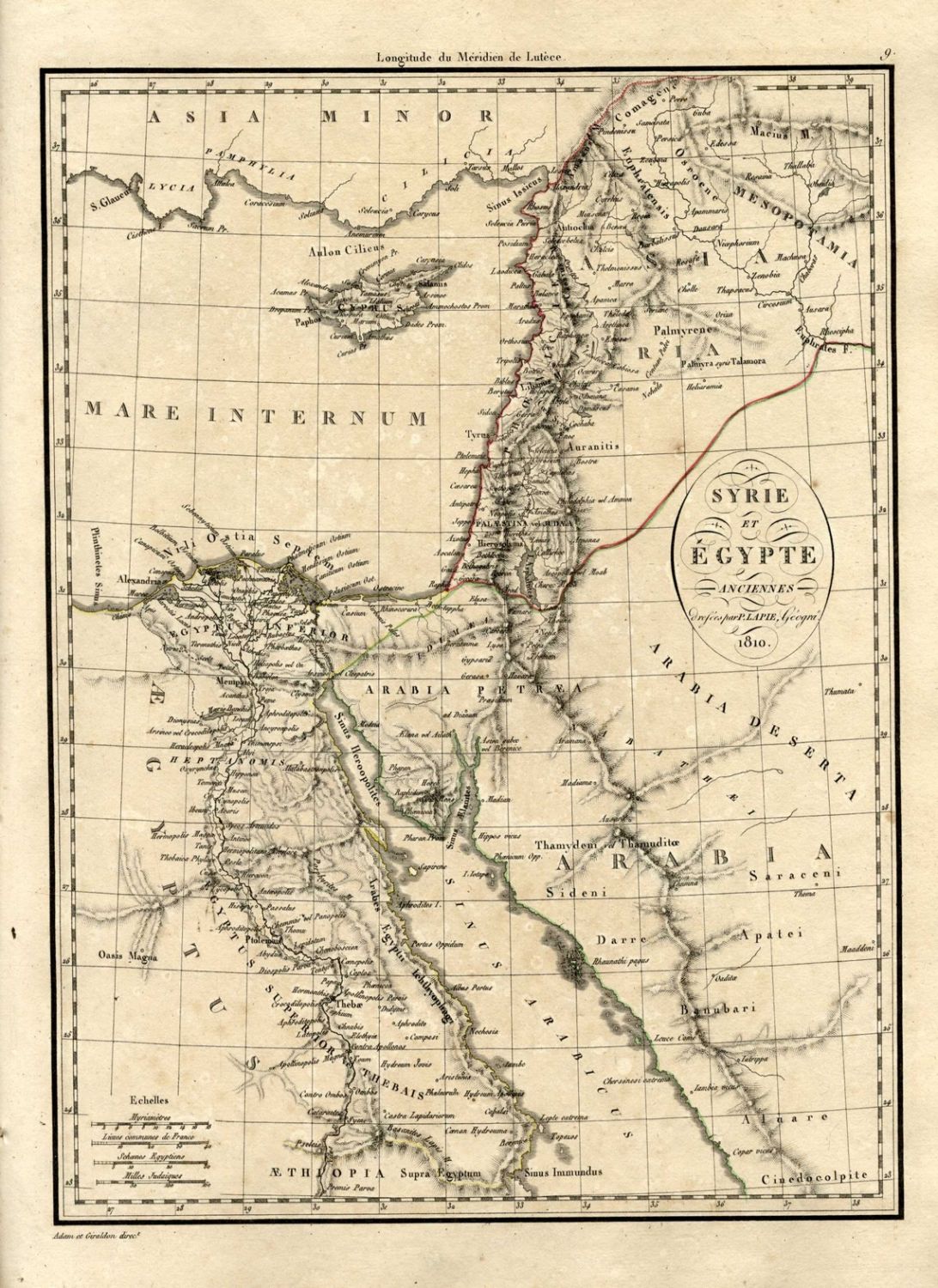
Early geographic atlas with 39 colored plates, including: system Planetaires, monde connu des empire d’ alexandre, anciens. The Roman Empire, a number of maps of Italy, Egypt, Syria and Europe. In addition to a number of large, folded maps, including: map of the world, France, Italy, Britain and more. The maps were created between 1810-1812 and were designated for use by French soldiers under Napoleon’s reign. The atlas appears in Quérard IV -544; וכן ב Tooley’s Dictionary III-88. Missing six maps [Numbers: 36, 33, 28, 27, 12, 13]. Old, original leather binding, without spine, detached back cover, the corners of the maps and binding are worn, the back binding is peeling. Tear to center of map #15, 20 cm. long. Moderate-fine condition.