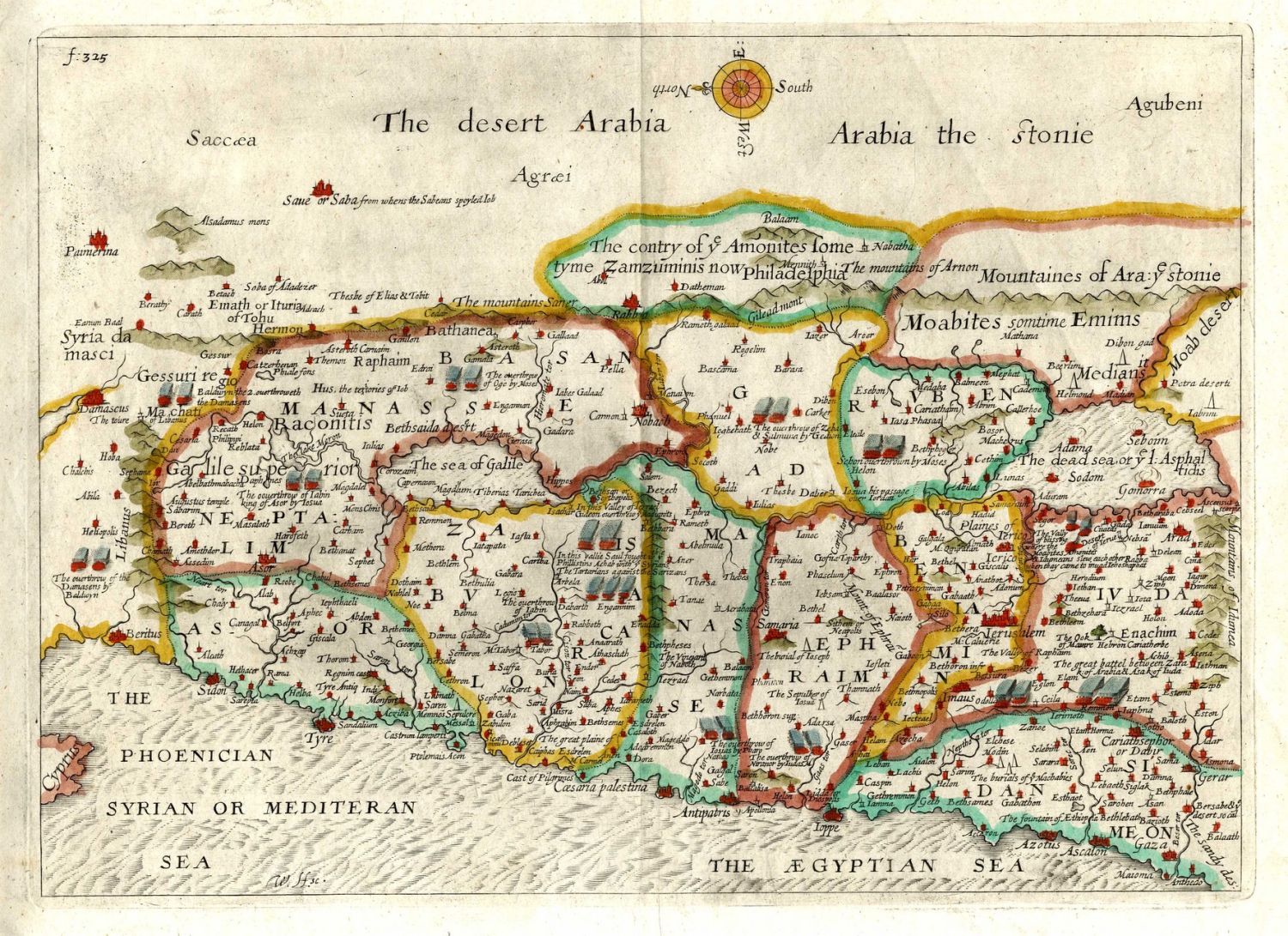


* The Desert Arabia. Map of the Arabian Desert, includes the sea of Egypt, start of the 17th century. 26×35 cm. * Arabia Petraea et Deferta, Arabian Desert, 17th-18th century. 24×36 cm. * The Desert Arabia. Antiquated engraving, hand painted soon after printing, of the Arabian Desert near Egypt, apparently made in the 18th century. Engraving, 26×36 cm. * Egypte. Two similar geographic maps, one hand painted soon after printing, including northern and southern Egypt. 18th century. 20×28 cm. Varying conditions, generally fine.