


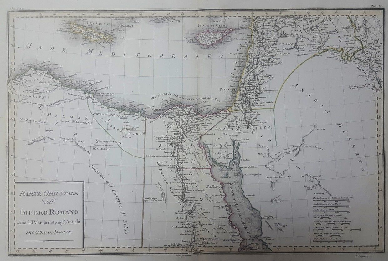
* Carte de la Terre de Chanaan. Engraving, hand painted soon after printing. Egypt, Sinai and southern Palestine. 23×29 cm. * Histoire Sainte. Engraving, hand painted soon after printing. Egypt, Sinai Peninsula, and southern Palestine. 26×25 cm. * Geographic map, hand painted soon after printing. Egypt, Arabian Peninsula, Palestine and Syria. 29×22 cm. * Carte de la Terre De Chanaan. Engraving of Egypt, Sinai and Southern Palestine. 24×30 cm. * Parte Orientale Dell Impero Romano. Large hand painted map of Egypt, Sinai, southern Palestine and the Arabian Desert. 34×52 cm. * De L’Egypte Moderne. Engraving, hand painted soon after printing. Egypt, North African and southern Palestine. 22×32 cm. Varying conditions, generally very fine.