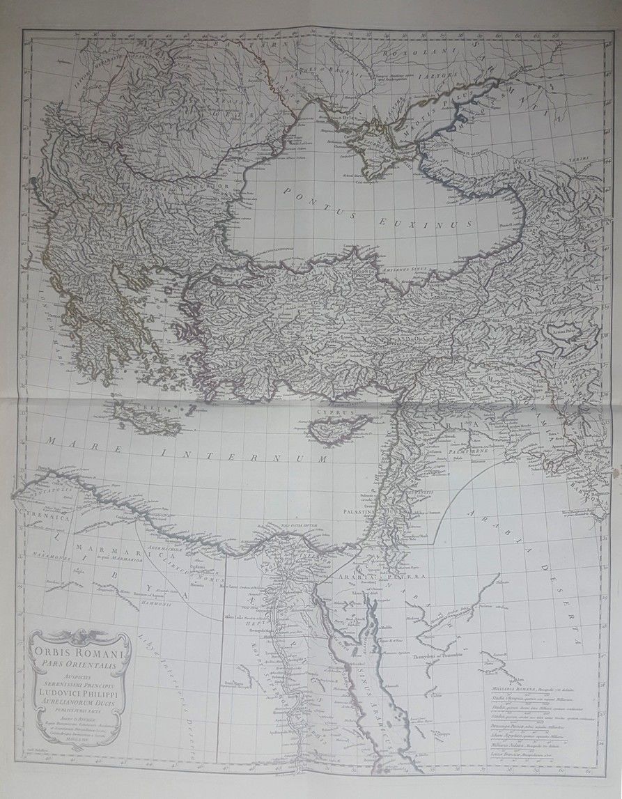
* Orbis Romani Pars Orientalis. Large map, hand painted during the era of printing, includes Turkey, the Black Sea, the Holy Land and Egypt. 18th century. 55×70 cm. * Yabula Prima Gua Totius Orbis Partes. Map includes Turkey, sections of Italy, the Holy Land and North Africa. Hand painted during the era of printing. 18th century. 36×53 cm. * Byzondere Kaart…Landen Apostelen Het Evangelium Gepredikts. Geographic map from the 17th century, the Italian “boot”, Turkey, Asia, Palestine and Egypt. 40×46 cm. * [5] geographic maps of Turquie and Di Asia [Turkey and Asia], hand painted during the era of printing. Average size of 20×28 cm. 17-18th century. * Mappa Dispersus Filiorum Noemi. Map hand painted at the time of printing, 18th century. 23×35 cm. Varying condition, overall fine condition.