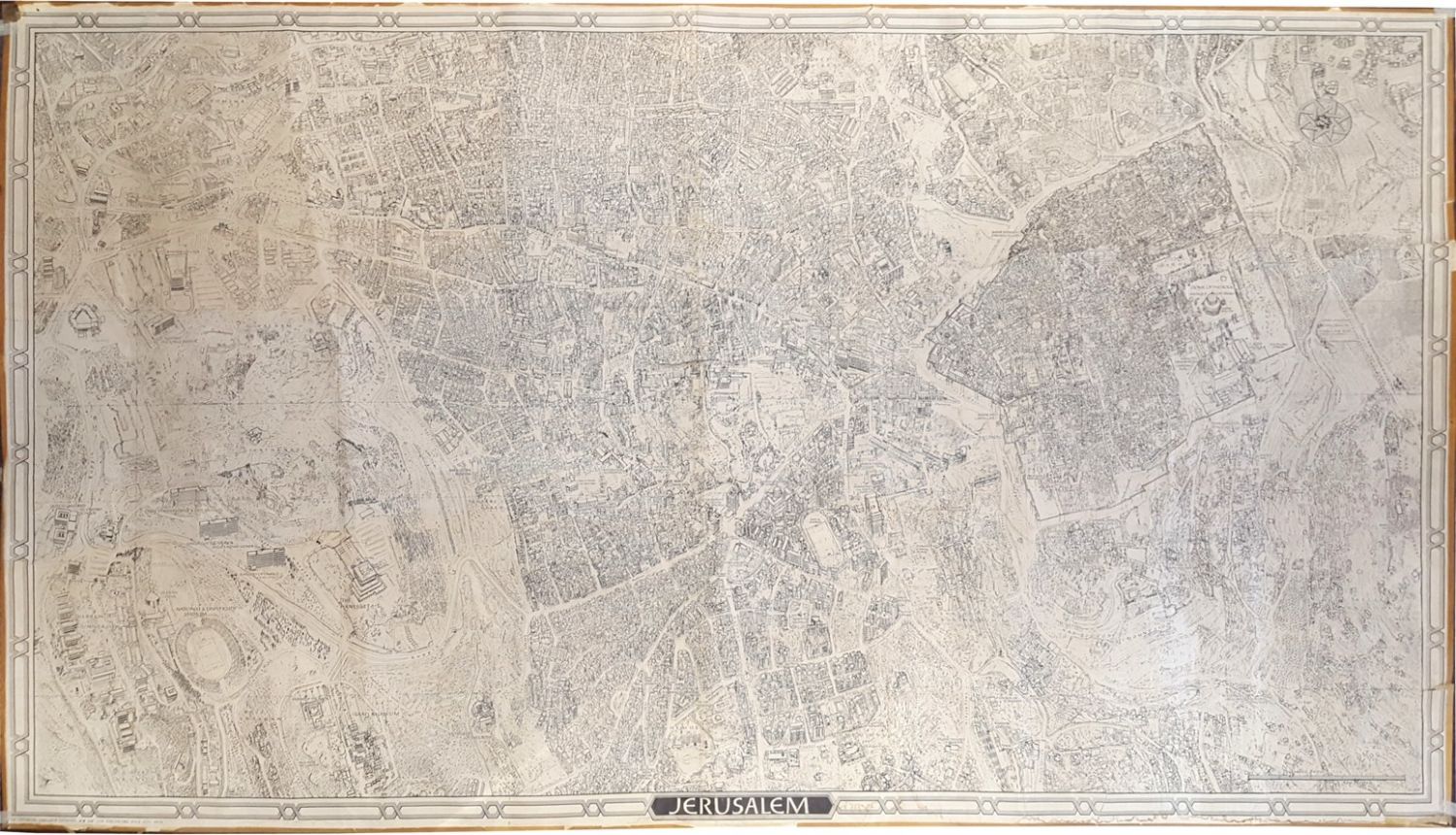
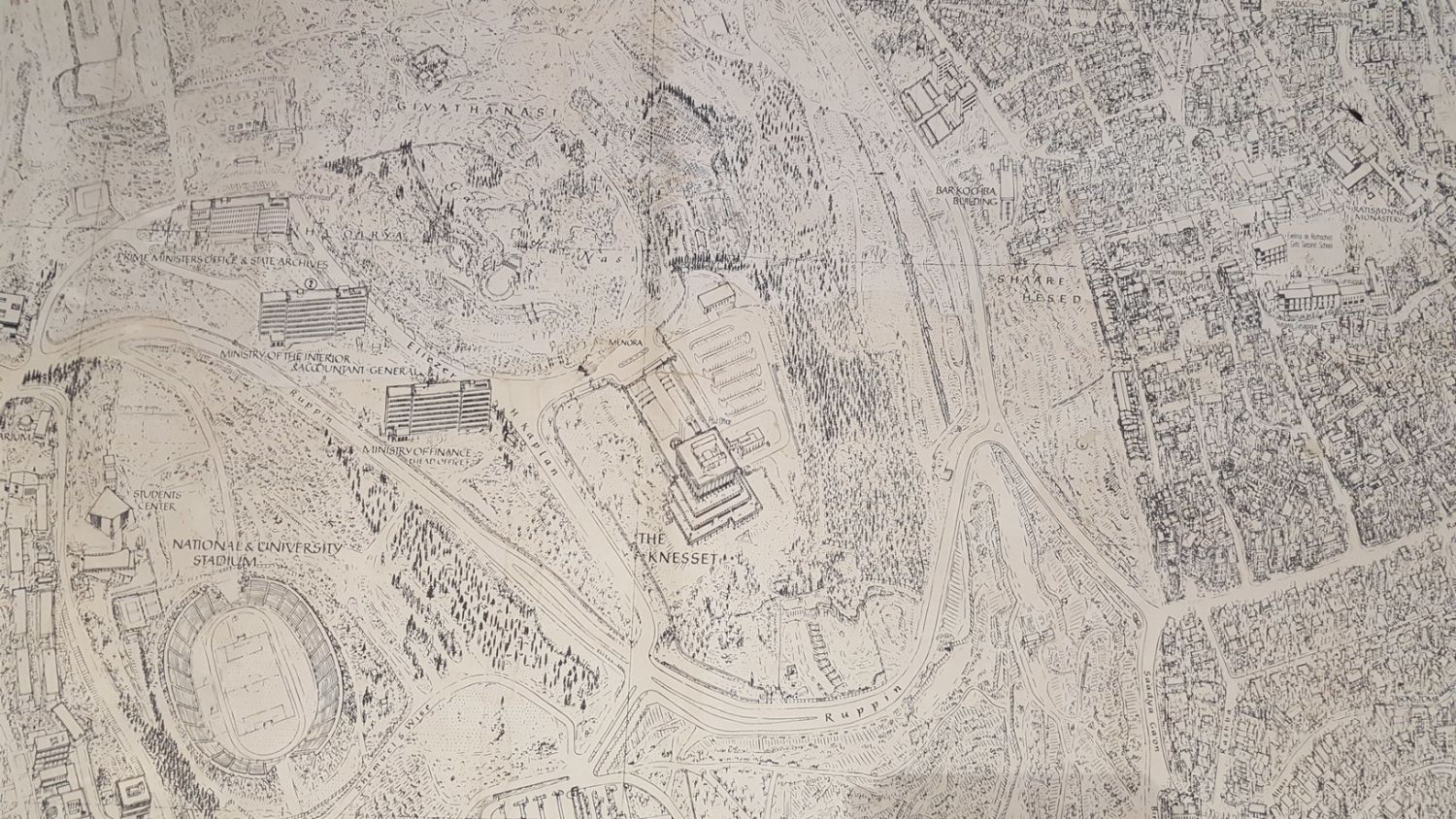

Large printed map depicting the city of Jerusalem from all four directions. Published by Win Van Leer, Haifa. C. 1960s. First edition, numbered 1/69 of those published in this release.
Richly detailed map – aerial view of the city’s various neighborhoods, the Old City and the walls. Includes a three-dimensional sketch of important buildings such as the Mosque of Omar on the Temple Mount, the YMCA Stadium, and more. The names of the various streets and sites are in English on the body of the map. The lower margins bear the printed caption: Jerusalem.
Size: 175×290 cm.
Tears in various parts of the map, taped from behind. Stains on margins. Moderate-fine condition.