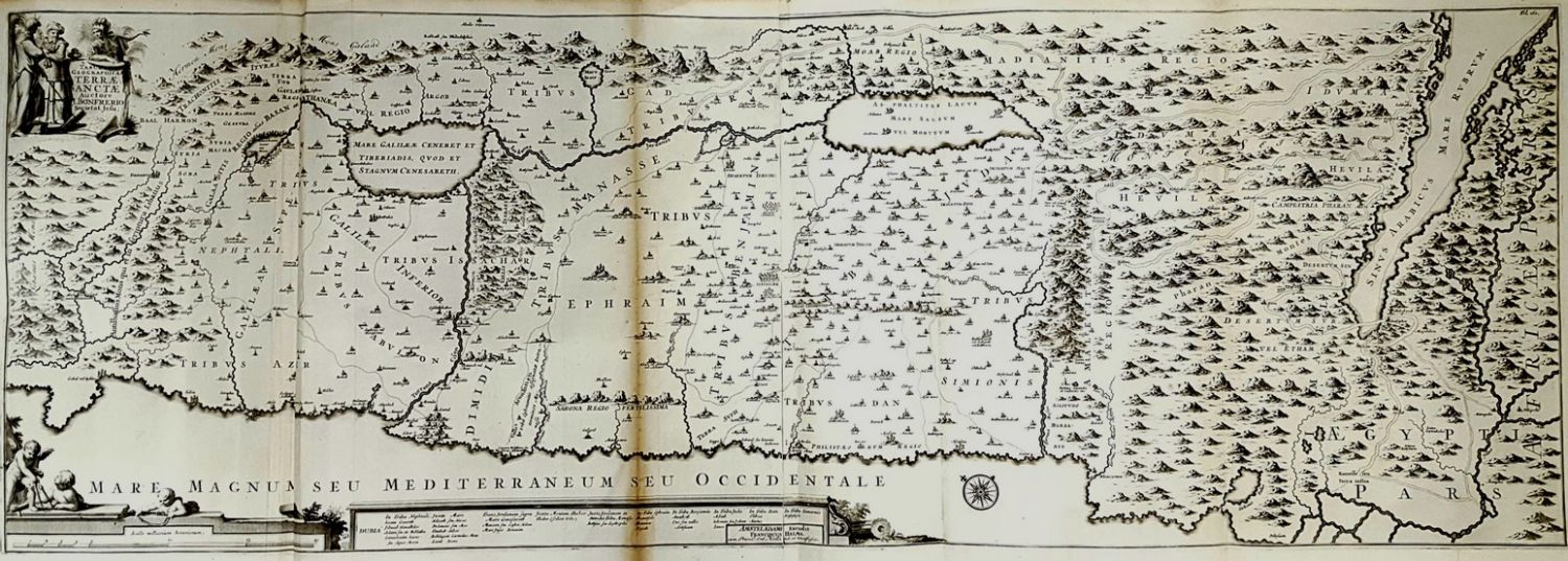
Measurements: 44×116 cm. Tabula Geographica Terra Sanctea, by engraver J. Bonfrerio. Amsterdam, 18th century. The map depicts the length of the Mediterranean Sea and runs from East to West. It includes all the names of the tribes, in Latin, according to the Biblical division of the land. Nice cartouche in the upper left section. Very fine condition.