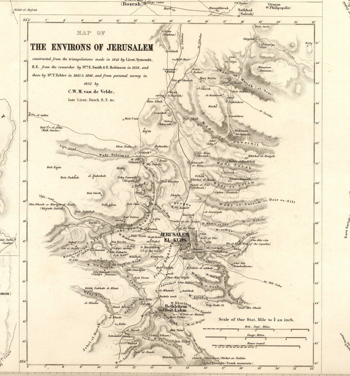
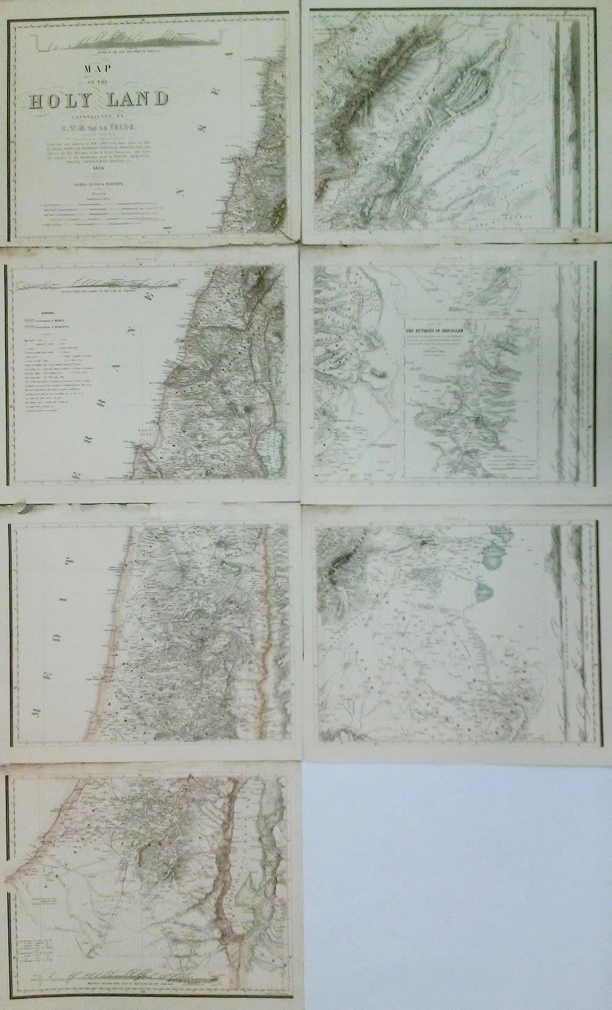
Map of the Holy Land by C.W.M. Welde. Printed in 1858, Gotha. Map comprised of 8 sections, together representing the entire Holy Land. Each section measures about 47×39 cm. Missing section 8, a square of Jerusalem, that doesn’t compromise the completion of the map. fine-very fine condition. Laor 778.