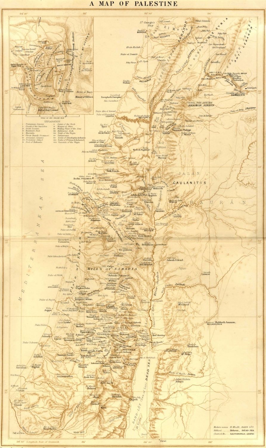
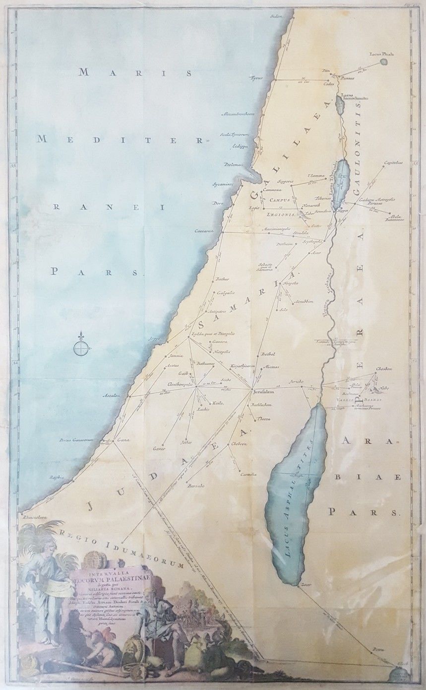
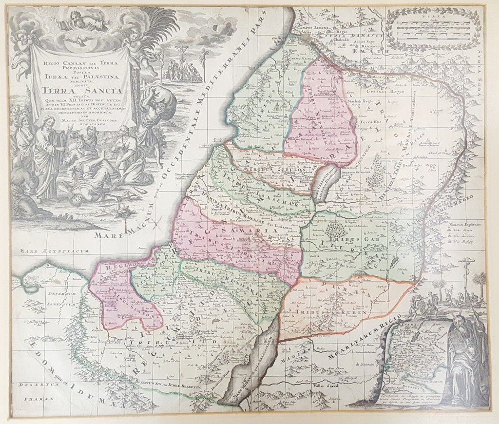
* REGIO CANNAN SEU TERRA PROMISSIONIS POSTEA LUDAA VEL PALESTINA NOMINATA HODIE TERRA SANCTA – an ancient geographical map of Israel divided into regions, hand painted at the time of printing. Signed in print by: G. Roggdel. Size: 55×48 cm. In a passepartout frame. * INTERVALLA LOCORVM PALAESTINAE digesta per MILIARIA ROMANA – a printed color map of Palestine, 19th century. In the lower left-hand corner is a pretty Cartouche. Size: 50×31 cm. Attached to a hard surface for preservation. * A Map of Palestine. A printed color map of Palestine from the beginning of the 20th century. Size: 44×26. Attached to a hard surface for preservation. All three maps are very fine condition.