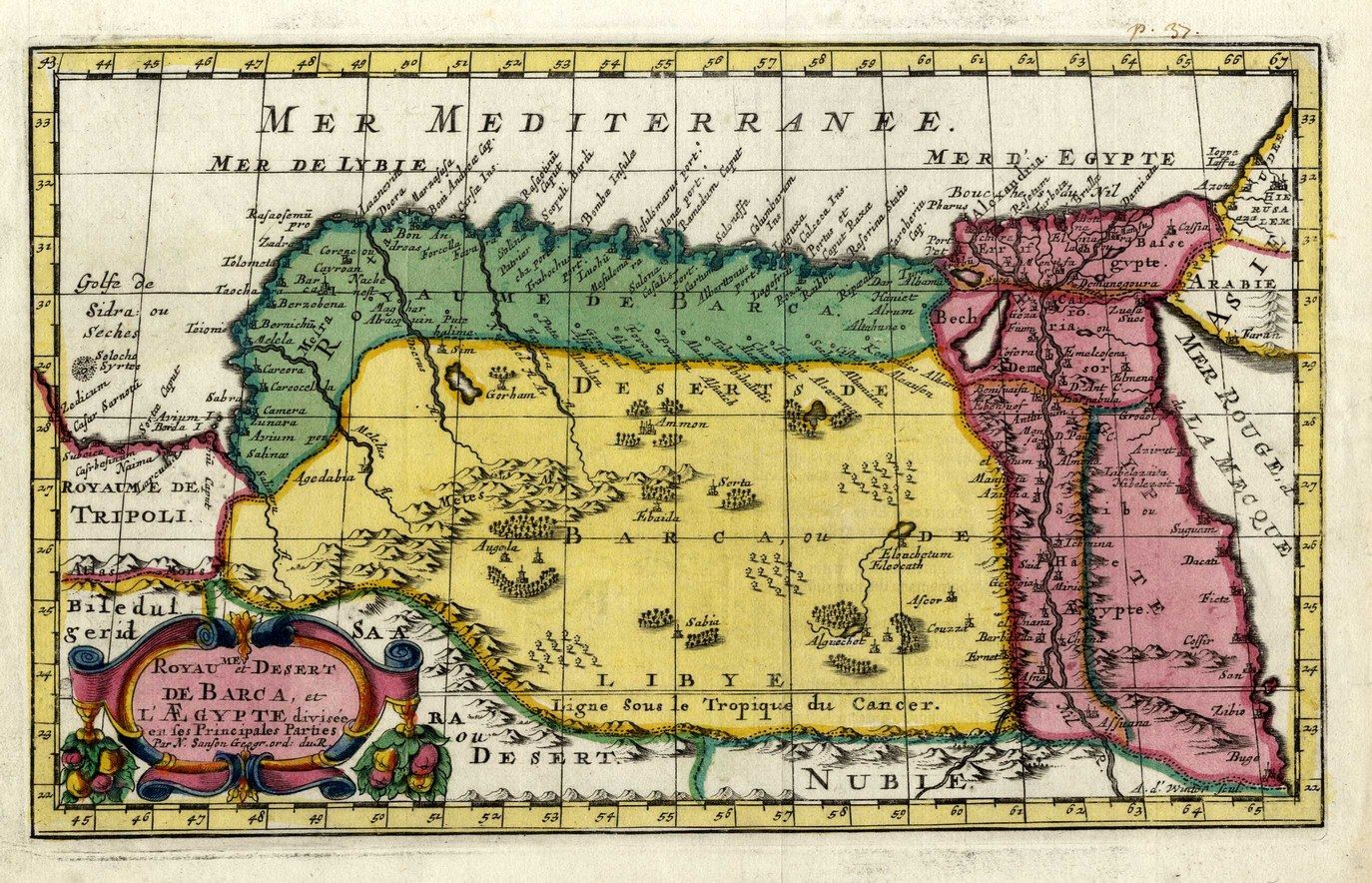


Three geographical maps – the Egyptian region. * Pharan. Map of Egypt. 37×50 cm. Includes the Desert of Paran and Suez Canal. * Aegypti Delt Et Nili Ostia. Northern Egypt, Mediterranean Sea and neighboring settlements. 21×31 cm. * Royau et desert de barca et l’aegypte. Ancient geographic map of Egypt and the Mediterranean Sea, hand painted soon after it was printed. 17×27 cm. Varying sizes and conditions, overall fine condition.