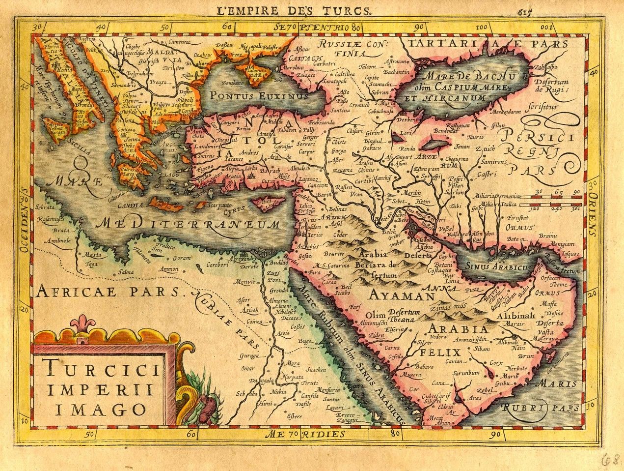
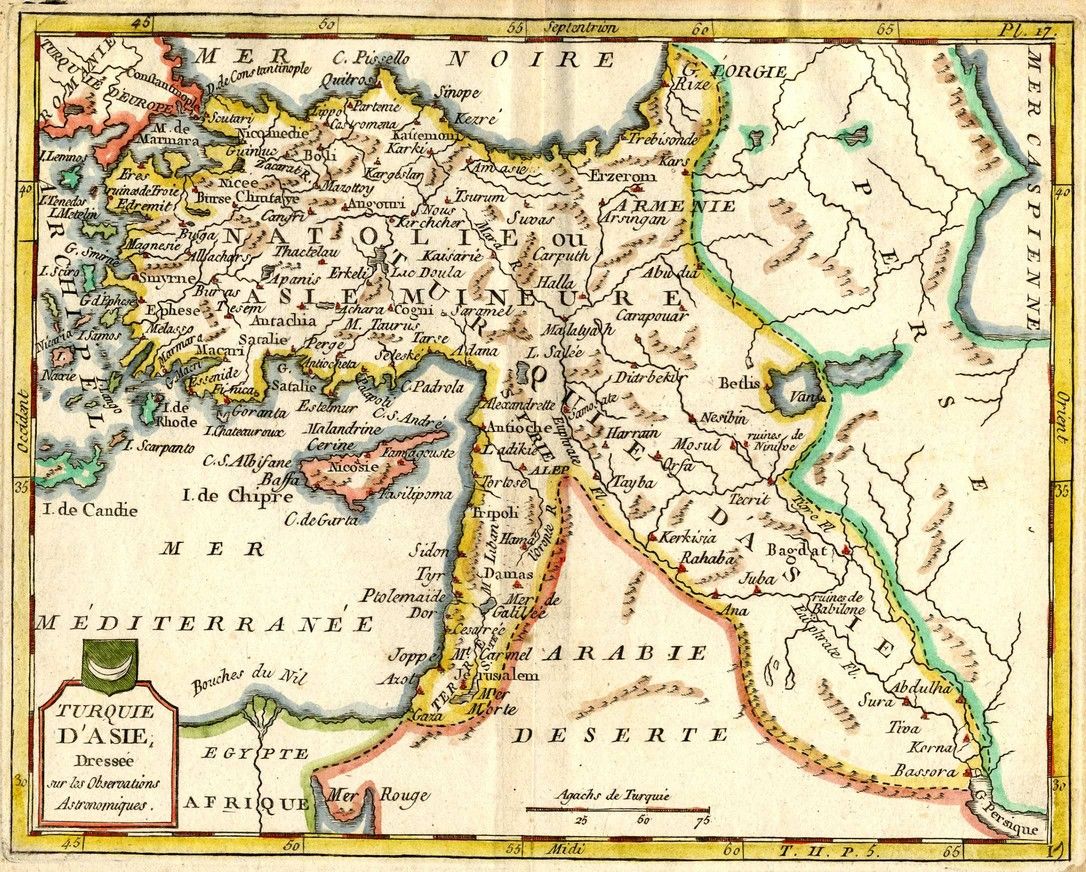


* Mesopotamia, Syria, Arabia Petera AC Deserta. Syria, Turkey the Arabian Dsert. 34×45 cm. * Turcici Imperii Imago. Engraving hand painted soon after it was printed. Arabian Peninsula, Turkey, Syria and sections of North Africa and Eastern Europe. 21×28 cm. * Imperium Turcicum in Europa Asia Et Africa. Large engraving hand painted soon after it was printed. Primarily Asia, with sections of Eastern Europe and North Africa. 57×50 cm. * Partie Orientale De La Carte Des Anciennes Monarchies. Large engraving hand painted soon after it was printed. Asia and the Arabian Desert. Inset map of the world in the upper right corner. 66×51 cm. * Etats du Grand Seigneur en Asia. Asia and the Arabian Peninsula, 1763. Nice cartouche in the bottom left corner. 54×48 cm. * Mappa Dispersus Filiorum N Oemi. Asia [including the Holy Land], Eastern Eruope, and sections of North Africa. 23×34 cm. * Turquie D’Asia. Asia and Turkey [including the Holy Land]. Engraving hand painted soon after it was printed. 20×23 cm. Mounted on a stiff surface. 30×40 cm. Varying conditions, overall very fine condition.