


Eight maps depicting the journeys of the Children of Israel, the entrance into the Land and its tribal division – etches. Various etches, 18-19th centuries.
* The Forty Years of Travels of the Children of Israel out of Egypt through the Red Sea and the Wilderness into Canaan, or the Land of Promise – map of the Land of Israel from east to west including the Children of Israel’s route from Egypt to the Land of Israel. 28×48 cm.
* Nafthali – map depicting the tribe of Naftali’s portion with indications of the tribe of Levi’s location, partially hand-painted. 31×38 cm.
* Ephraim – map depicting the tribe of Ephraim’s portion integrated with various biblical scenes: the miracle of the splitting of the Jordan and the Children of Israel crossing it, Moshe on Mount Abarim, Elisha’s chariot and more. 31×36 cm.
* Confina Palestina Orientem – regional map of Ammon, Moab and Midian with indications of the tribal inheritances. 31×37 cm.
* Paradis Terrestre – map depicting the center of the Land of Israel with the tribal divisions. 42×47 cm.
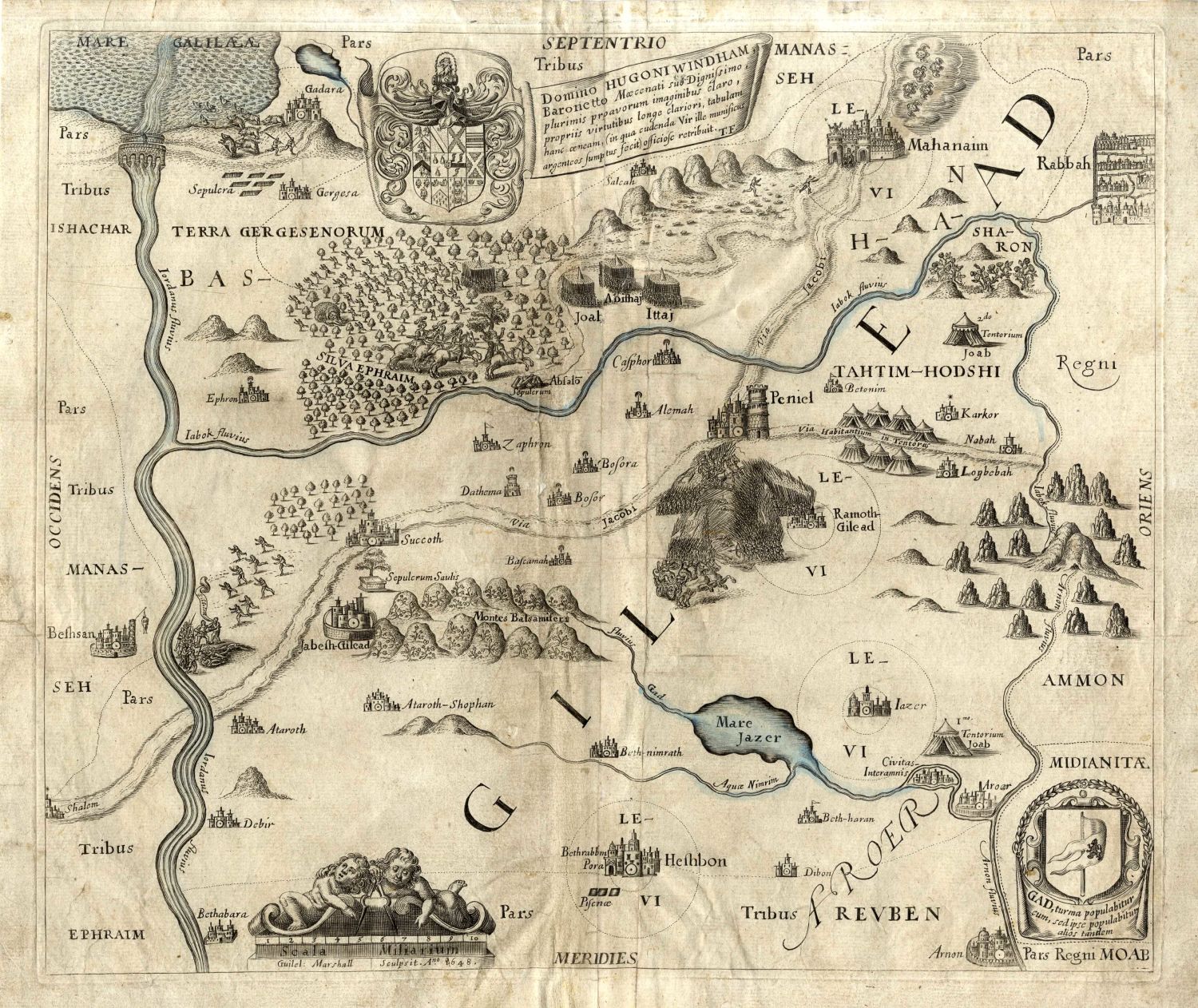
* Map depicting the Gilad area, partially hand-painted. 36×32 cm.
* Map depicting the center of the Land of Israel, partially hand-painted. On the right, there is a nice cartouche of an angel riding a horse. 32×36 cm.
* Map depicting the Galilee area with the locations of the tribal inheritances. 30×36 cm.
Overall very fine condition.